Hiking✓ Verified for 2026
The 9 Best Dog-Friendly Hiking Trails In & Near Toronto
Nine dog-friendly hiking trails in and near Toronto. Ravines downtown, escarpment day trips, waterfalls an hour out. Distances, parking, leash rules, and where the ticks are.
🐾
Onslow's Team
Published May 12, 2026 · Updated August 3, 2026 · 3 min read
In this article
Quick reference
Tap any name to jump to the full review
| Trail | Distance | Difficulty |
|---|---|---|
| Rouge National Urban Park | 1.5-9.3 km | Easy-Hard |
| Crothers Woods | ~10 km | Moderate |
| Humber River Trail | ~20 km | Easy |
| High Park | ~5 km | Easy |
| Beltline Trail | ~9 km | Easy |
| Scarborough Bluffs | ~5 km | Easy |
| Earl Bales Park | ~3 km | Easy-Moderate |
| Crawford Lake | 1.9-6 km | Easy-Moderate |
| Forks of the Credit | ~10 km | Moderate-Hard |
1. Rouge National Urban Park
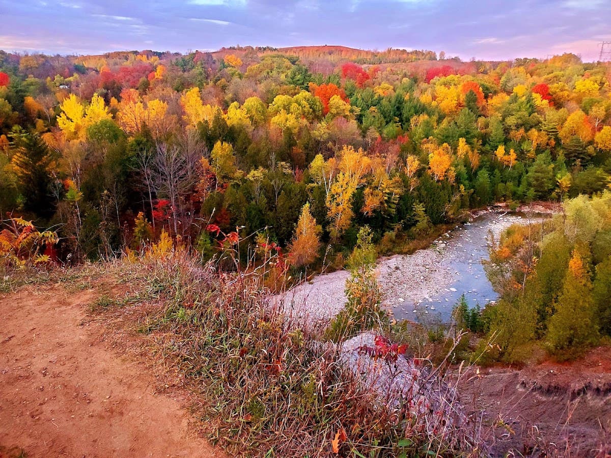
Best for: A real hike inside the city
📍 7450 Kingston Rd (south) / 55 Twyn Rivers Dr (north), Scarborough
A national park inside city limits, and it's never busy the way High Park is busy. The Vista Trail (1.5 km) is the easy version, with a two-level lookout over the valley. The Mast Trail (5 km) follows a logging route roughly two centuries old through forest that feels like it belongs three hours north. Linked together they make a 9.3 km loop. As of August 2026, the Twyn Rivers Drive access is closed for construction. Use the Kingston Road trailheads. Rouge is also one of the sites Toronto's tick surveillance program monitors, so check your dog afterward.
On-leash only1.5–9.3 kmFree parking🕷️ High tick riskDog-friendlyScenic viewsModerate
2. Crothers Woods
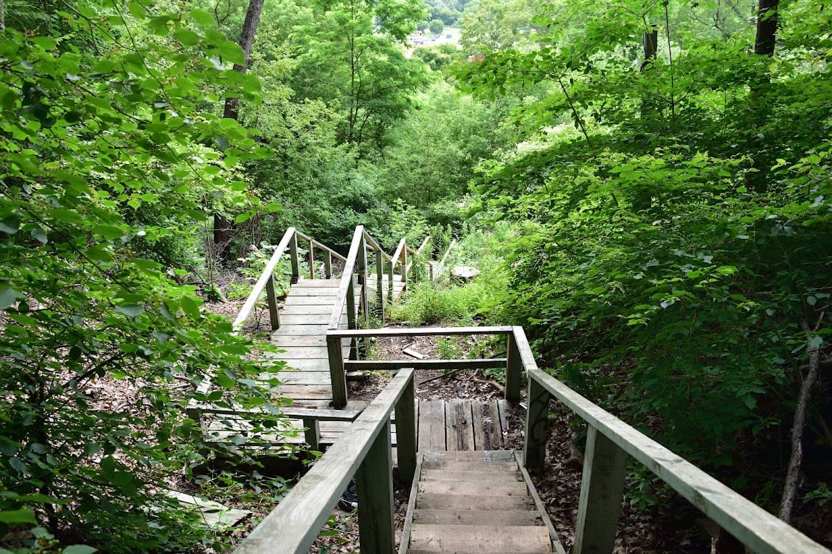
Best for: Serious sniff sessions ten minutes from Leaside
📍 14 Redway Rd (Loblaws trailhead), Don Valley / Leaside
You park behind a Loblaws and then somehow end up in a forest. 52 hectares of mature maple and oak in the middle of the Don Valley, with about 10 km of trails. Steep in sections, dirt underfoot, patchy cell service. The shade in July is the best argument for it. Watch for mountain bikers on the narrow paths. This is a designated cycling area and they come fast around blind corners. If your dog chases wheels, keep them short-leashed here. Leaf litter and brush the whole way, which is the habitat ticks want.
On-leash only~10 km networkFree parkingModerate🕷️ High tick riskModerateShadeDog-friendly
3. Humber River Trail
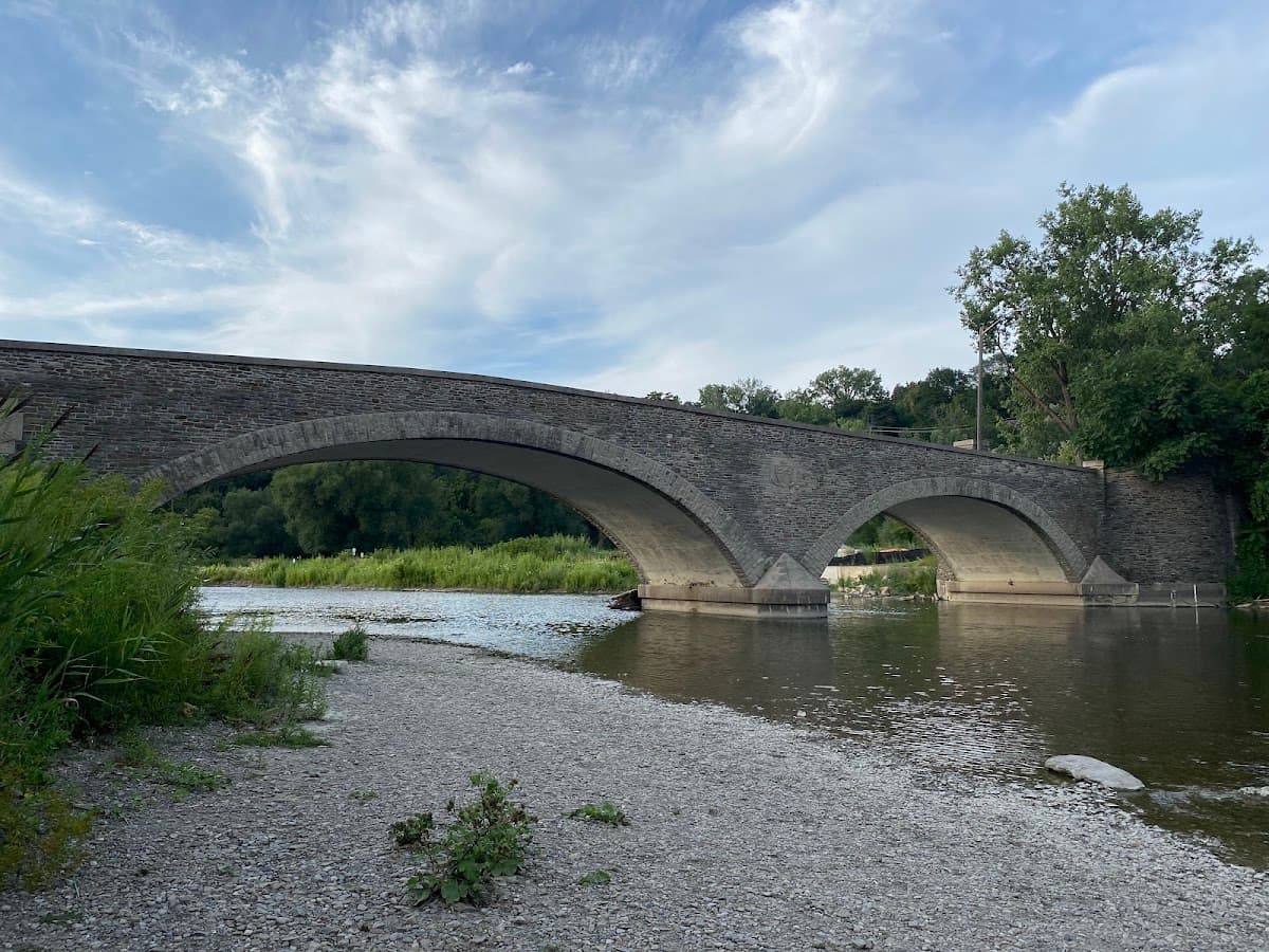
Best for: Older dogs, arthritic paws, people without cars
📍 13 Crosby Ave (Etienne Brule Park), Old Mill / Etobicoke
Twenty kilometres of paved riverside trail running from the lake up to Steeles. Nobody walks the whole thing. Pick a section. The best stretch is Etienne Brule Park to Home Smith Park, about 5 km, flat and shaded with river access and water fountains along the way. For an older dog, or one with joint issues, this is the trail on the list. Paved end to end, no elevation, and you can reach it from Old Mill station without a car.
On-leash only~20 km totalFree parkingEasy🕷️ Low tick riskEasyWater accessDog-friendlyShade
4. High Park Trails
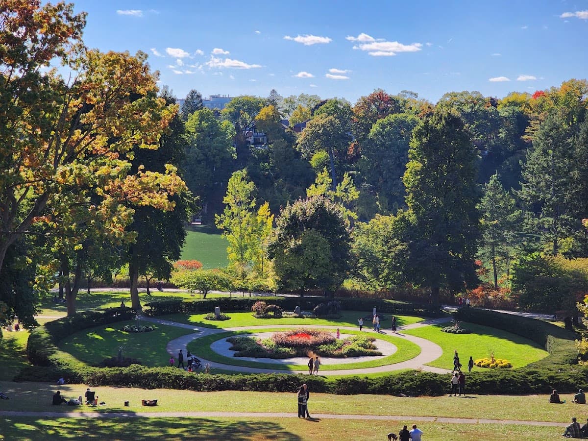
Best for: Off-leash trails through actual woods, and the car-free weekend park
📍 1873 Bloor St W, High Park
Covered in the parks guide, but the trails deserve their own mention. The off-leash zone is about 8.5 acres sitting inside roughly 400 acres of parkland, and the wooded trails running off it are real forest. On weekends the roads close to cars and the whole park becomes one long walk. Saturday parking is bad. Take the subway.
Off-leash area~5 kmTTC accessibleEasy🕷️ Moderate tick riskEasyDog-friendlyShade
5. Beltline Trail
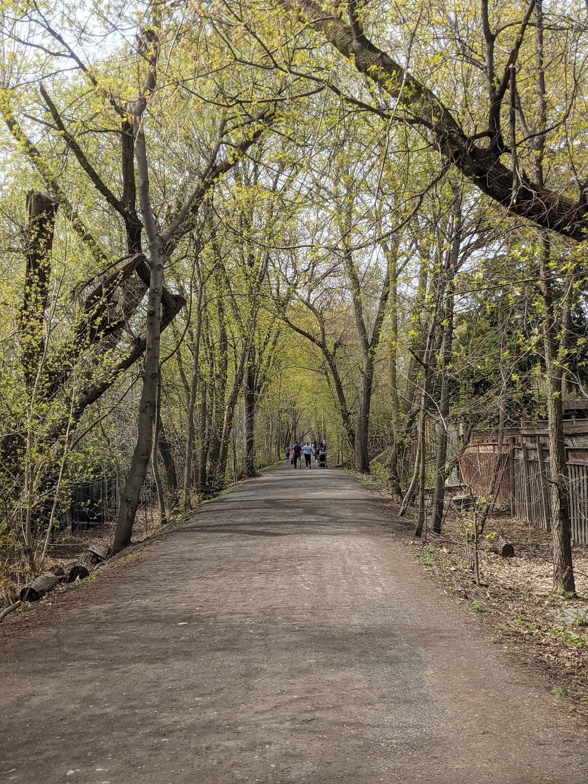
Best for: Podcast walks, the surprise ravine at the end
📍 Allen Rd to Mount Pleasant Cemetery, Midtown / Forest Hill / Moore Park
A failed 1890s commuter railway, now 9 km of flat paved path through Forest Hill and Moore Park. Walk it east until it drops into Moore Park Ravine and the surface turns to dirt and the trail joins the Don Valley system. The transition is abrupt and it's the reason to do this walk rather than any other paved one. No parking lot. TTC or street parking.
On-leash only~9 kmTTC accessibleEasy🕷️ Low–moderate tick riskEasyDog-friendlyShade
6. Scarborough Bluffs Trail
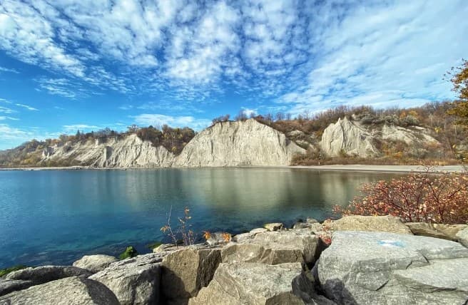
Best for: Cliffs that don't look like they belong in Toronto
📍 Bluffers Park, foot of Brimley Rd, Scarborough
90-metre cliffs dropping into Lake Ontario, with about 5 km of out-and-back trail along the base. Dogs are banned from the beach April 1 to October 31 while it's a supervised swimming beach. November through March they're allowed, on-leash. The trail itself is open year-round. (Full beach rules here.) Summer weekend parking fills by mid-morning.
On-leash only~5 kmFree parkingNo beach (summer)🕷️ Moderate tick riskEasyScenic viewsDog-friendly
7. Earl Bales Park
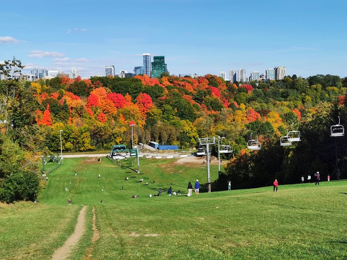
Best for: North York dogs who deserve better
📍 4169 Bathurst St, North York
127 acres with a fenced off-leash area that's decent, plus about 3 km of ravine trails with some hills connecting down toward the Don. Free parking. If you're north of Eglinton, there's no reason to drive downtown for this.
Fenced off-leash area~3 kmFree parkingEasy–Moderate🕷️ Moderate tick riskEasyDog-friendlyShade
8. Crawford Lake (Day Trip)
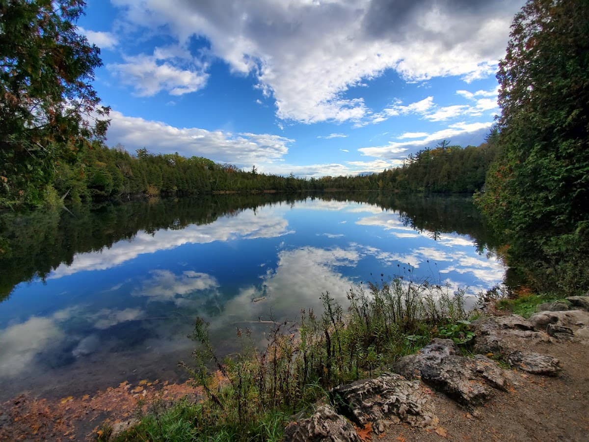
Best for: Worth the drive, escarpment hiking
📍 3115 Conservation Rd, Milton, Milton (50 min from Toronto)
Crawford Lake is meromictic. The water layers don't mix, so sediment settles undisturbed and preserves a readable record going back centuries. Scientists have used it to date Indigenous settlement in the area. Your dog cannot swim in it. The boardwalk loop around the lake is 1.9 km and easy. The Nassagaweya Canyon Trail is about 6 km through Niagara Escarpment terrain and connects to the Bruce Trail, so you can make the day as long as you want. There's also a reconstructed 15th-century Wendat longhouse village on site. $10.50 online, $12 at the gate.
On-leash only1.9–6 km$10.50 admission50 min drive🕷️ High tick riskModerateScenic viewsUnder 1hr from Toronto
9. Forks of the Credit (Day Trip)
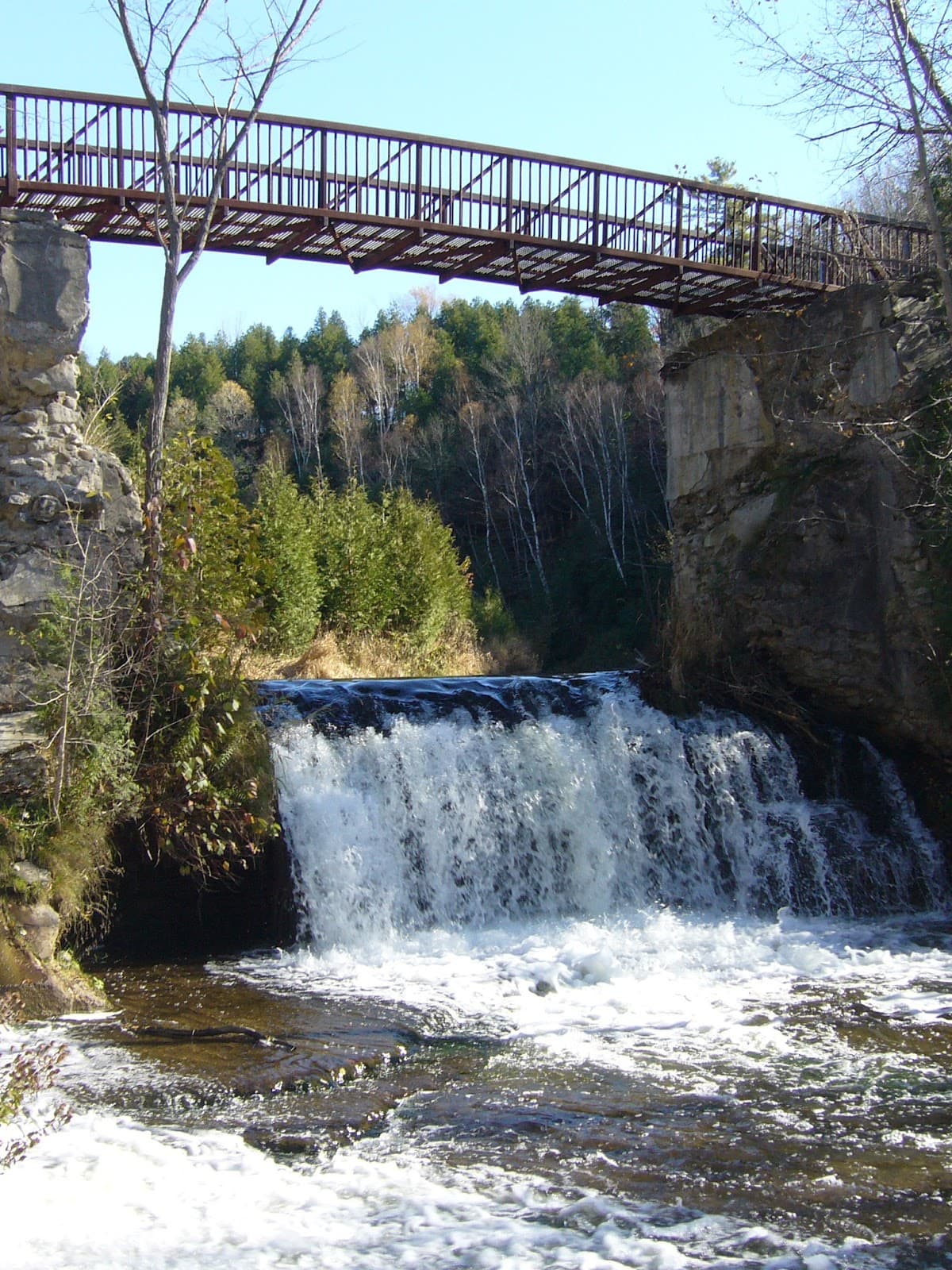
Best for: Fall colours that will make you emotional
📍 17760 McLaren Rd, Caledon, Caledon (1 hr from Toronto)
The Credit River gorge, a 13-metre waterfall, and about 10 km of trails with real elevation. An hour from Toronto and it looks like you drove to Algonquin. Dogs on-leash, maximum 2 metres, no swimming areas. Reserve ahead in October. Peak leaf season here is oversubscribed and the lot fills. Day-use permit runs $12 to $21 depending on the day.
On-leash only~10 kmReservation recommended1 hr drive🕷️ High tick riskHardScenic viewsWater accessUnder 1hr from Toronto
Ticks
🕷️
All of Toronto is now a Lyme disease risk area
Per the City of Toronto and Public Health Ontario's 2024 map, blacklegged ticks are established here. The overall risk of contracting Lyme in Toronto is still described as low, but it's been increasing, and every trail on this list is the habitat ticks prefer.
Where they are: wooded and brushy areas with leaf litter, or tall grass. Toronto's surveillance program has confirmed blacklegged ticks at Rouge Park, Highland Creek, Morningside Park, Cedar Ridge Park, and Algonquin Island. The Humber and Beltline trails are lower risk (paved, mowed edges). Rouge, Crothers Woods, and the Don Valley ravines are higher. They can't jump or fly. They wait on the tips of grass and shrubs and grab whatever brushes past. Walking down the centre of the trail rather than the brushy edge makes a real difference. Transmission usually requires the tick to be attached for 24 hours or more, which is why checking your dog the same day matters more than anything else here.
Checking your dog after a hike: run your hands over the whole body. Ticks head for warm, thin-skinned spots: inside the ears, armpits, groin, between the toes, under the collar, around the eyes. On a thick coat you'll find them by feel before you see them. Removing one: fine-tipped tweezers, grip close to the skin, pull straight up, steady and firm. Don't twist, don't squeeze the body. Save the tick. You can photograph it and submit it to eTick (etick.ca), a free Ontario platform that returns a species ID within 48 hours. Prevention: year-round tick preventatives are standard advice from Ontario vets now. Budget $150 to $300 a year. There's also a Lyme vaccine for dogs. Whether it's worth it depends on how much time you spend in ravines. Ask your vet.
Water Safety
Dogs drink out of everything on a trail. In late summer, still water is worth being careful about. Blue-green algae blooms in warm, slow, nutrient-rich water and can be fatal within hours. It affects ponds and slow river sections more than moving water. Carry water. They'll drink more than you expect. Full details in the blue-green algae guide.
💬Common questions
Can I take my dog hiking in Toronto?+
Yes. Most trails in and around Toronto allow dogs on-leash, maximum 2 metres. High Park and Earl Bales have designated off-leash areas within the trail system.
Are dogs allowed in Rouge National Urban Park?+
Yes, on a leash. Trails range from 1.5 km to a 9.3 km linked loop. As of August 2026 the Twyn Rivers Drive access is closed for construction.
Do I need to worry about ticks on Toronto trails?+
Yes. Blacklegged ticks are established across Toronto and all of the city is classified as an estimated Lyme risk area. Check your dog after every ravine or woodland hike, and keep them on year-round tick prevention.
Which Toronto trails are good for older dogs?+
The Humber River Trail and the Beltline. Both are paved, flat, and reachable by TTC. Both are also lower tick risk, since ticks don't favour paved surfaces.
Can my dog swim on these trails?+
Not at Crawford Lake or Forks of the Credit, where swimming areas are off-limits. River access on the Humber is fine for wading, but avoid still or scummy water in late summer.
Quick Comparison
| Trail | Distance | Difficulty | Off-Leash? | Tick Risk |
|---|---|---|---|---|
| Rouge National Urban Park | 1.5–9.3 km | Easy–Hard | No | High |
| Crothers Woods | ~10 km | Moderate | No | High |
| Humber River Trail | ~20 km | Easy | No | Low |
| High Park | ~5 km | Easy | Yes | Moderate |
| Beltline Trail | ~9 km | Easy | No | Low–Mod |
| Scarborough Bluffs | ~5 km | Easy | No | Moderate |
| Earl Bales Park | ~3 km | Easy–Mod | Yes (fenced) | Moderate |
| Crawford Lake | 1.9–6 km | Easy–Mod | No | High |
| Forks of the Credit | ~10 km | Mod–Hard | No | High |
Tick risk ratings are based on habitat type (leaf litter and brush versus paved and mowed), not official designations.
Keep them leashed where the signs say to. There are coyotes in these ravines, and spring denning season makes them bolder. Sources: City of Toronto, Lyme Disease and Blacklegged Tick Surveillance Results; Public Health Ontario, Ontario Blacklegged Tick Established Risk Areas Map 2024; Toronto and Region Conservation Authority; Ontario Parks; Conservation Halton. Related: off-leash parks, summer heat safety, bylaws and fines.
🐾
Find parks, track health, meet dog owners
Onslow's is the all-in-one app for pet parents. Free on iOS and Android.
Find parks, track health,
connect with dog owners